
FPI / October 31, 2025
By Richard Fisher
Combat zones where United States and Chinese military forces are regularly “eyeball to eyeball” include the Taiwan Strait, the East China Sea in defense of Japan, the South China Sea in defense of the Philippines, and increasingly in space, where the U.S. and China are exposing/intimidating each other with images of the others’ satellites — called Non-Earth Imagery (NEI).
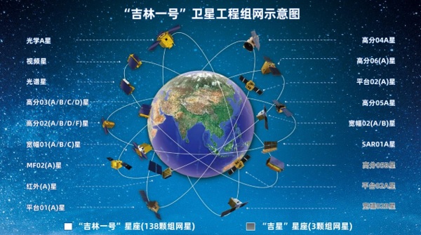
On Sept. 13 the Chinese Changguang Satellite Technology (CGST) company, which controls the 140-satellite Jilin constellation released an image of the Maxar Legion-2 satellite, one of a six-satellite constellation controlled by the Maxar Technologies commercial satellite imagery company.
Maxar has become a widely-used source of commercial satellite imagery of Chinese military subjects on Earth, popular with the Western press and many academic centers analyzing the People’s Liberation Army, with the recent addition of offering NEI of Chinese spacecraft and satellites in Low Earth Orbit.
CGST apparently published the image of the Maxar satellite in retaliation for Maxar’s July publishing of China’s Shijian-26, a new experimental imagery satellite that China would know has been observed by U.S., Russian and other Space Situational Awareness (SSA) satellites, but would abhor that satellite being made public knowledge.
With about 11,700 active satellites and over 19,300 defunct satellites and other large pieces of debris circling the Earth, and active satellite numbers potentially increasing to 100,000 by 2030, the market for NEI from companies like Maxar and CGST will grow exponentially — as commercial companies attempt to protect their satellite constellation investments and global military services seek the same.
But leave it to the Chinese to try to advance the notion that American NEI constitutes a “provocation,” the theme of Chinese lower-level state media Guancha (Observer) commentator “Baijujing” in his Oct. 23 article, “US satellites secretly photographed Chinese satellites and space stations. China must take photos back to collect evidence.”
Baijujing casts Washington as the aggressor, saying, “The United States has taken the lead in shifting its satellite cameras from Earth to targets in space, and has publicly released high-definition images of China’s space station and satellites in orbit.”
He continues:
“Maxar packages these images as technological breakthroughs and commercial promotions, releasing them to public opinion and policy circles. The real financial backers behind this are the White House and the Pentagon. The subtext is straightforward: every external detail of a Chinese spacecraft is clearly visible to the United States.”
Full Report . . . . Current Edition . . . . Subscription Information
New front in China-U.S. space warfare: Non-Earth imagery (NEI) added by Editor Two on
View all posts by Editor Two →